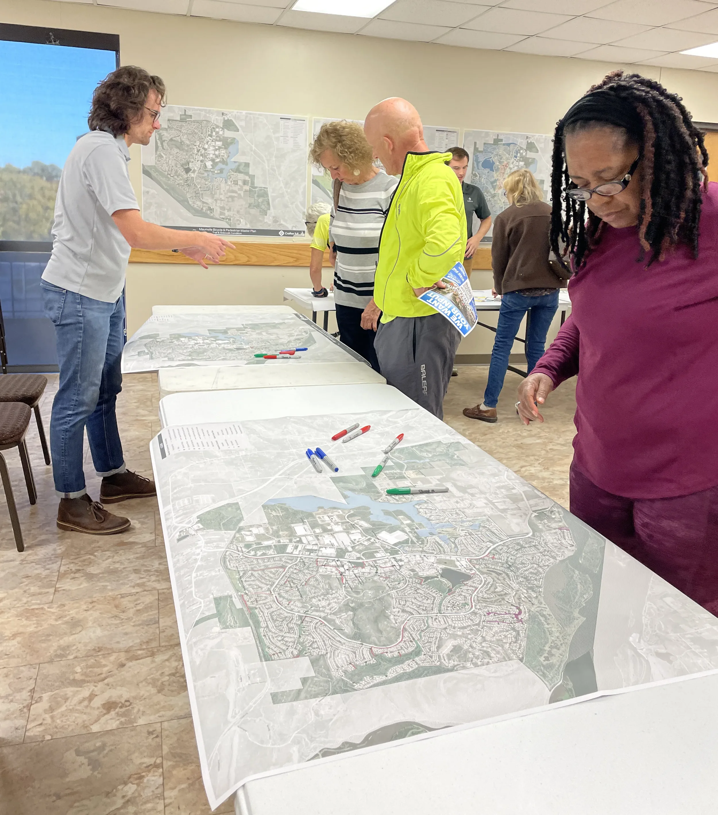
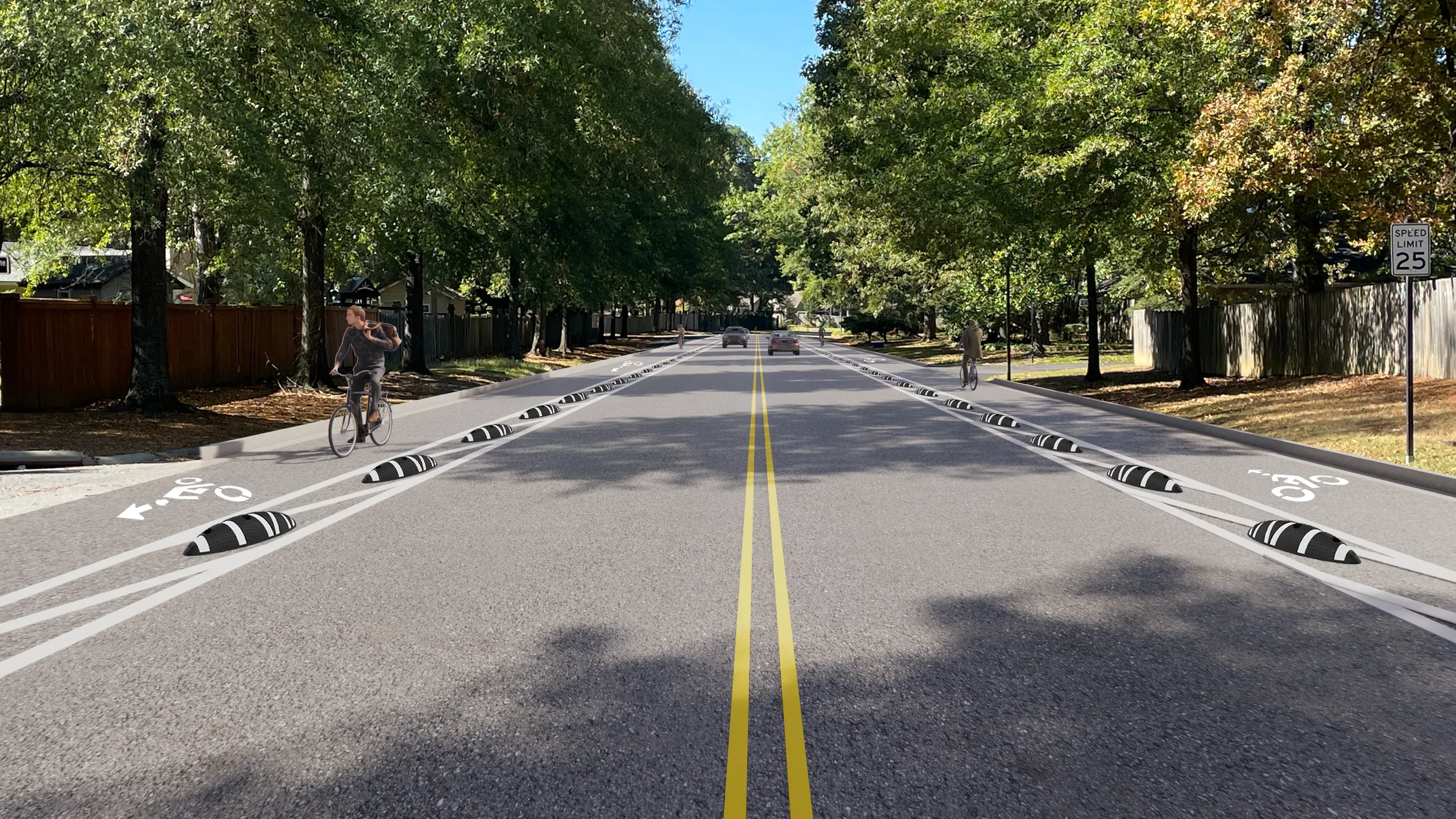
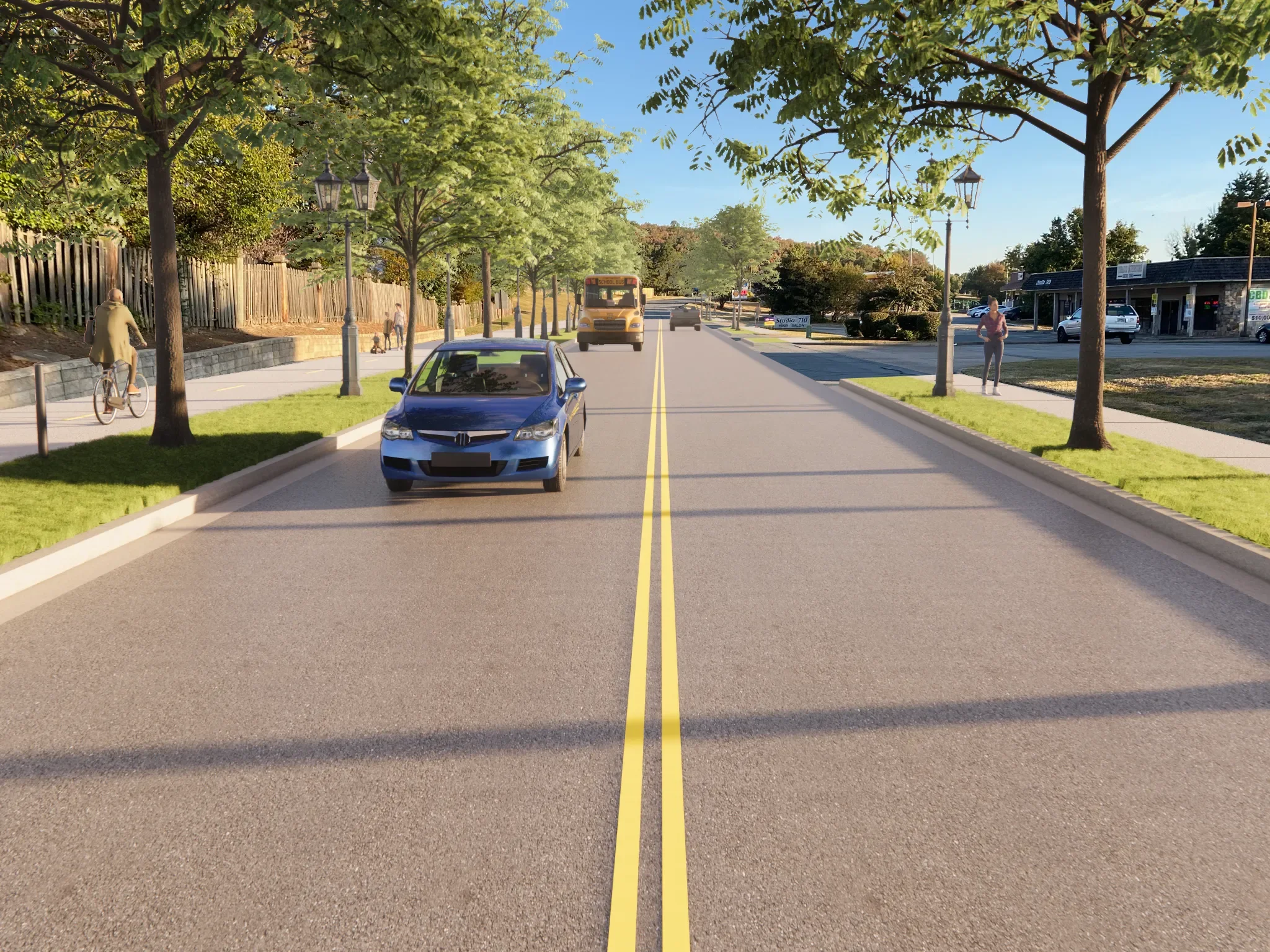
Our team was commissioned to develop an active transportation plan that encourages active mobility while connecting destinations in town to the neighborhoods and downtown. After data collection, a public survey and thorough analysis of the existing trail network, the engagement plan included a week-long on-site workshop with input sessions from the steering committee, stakeholder groups and the public. The plan includes the location of the new Regional Greenway route on Club Manor, a future 4- to 2-lane complete street with protected side path, to connect the Arkansas River Trail through Maumelle to Conway. The plan also includes important transportation and recreation connections in town via trails, side paths and on-road facilities for cyclists. These connections link neighborhoods to parks, schools, employment centers, the industrial park and to downtown.
A sidewalk inventory was conducted to rate and locate necessary improvements and additions to enhance the network. The team tied field photos via georeferencing to the GIS files for accurate spot locations. A similar technology was employed that allowed the public to drop pins and notes on an online map to indicate areas of concern or locations where improvements are needed in the current network. This GIS data helps inform plans for the network’s growth while the planners assessed proposed routes. The plan was completed in 2023.
Maumelle Active Transportation Plan
Maumelle, Ar
CLIENT:
City of Maumelle
COMPLETION:
2023
SERVICES:
Planning